Start every project with data you can trust
Everything you need to go from site to model with precision and speed
Architects across Africa are modernizing their workflows with scanning and geospatial tools that integrate directly into their design software. Here's how you can too..
THE COMPLETE FIELD TO DELIVERABLE WORKFLOW
Build from data, not assumptions
From scanning to layout to validation, we supply everything you need to create engineering-grade deliverables with clarity, speed, and precision.

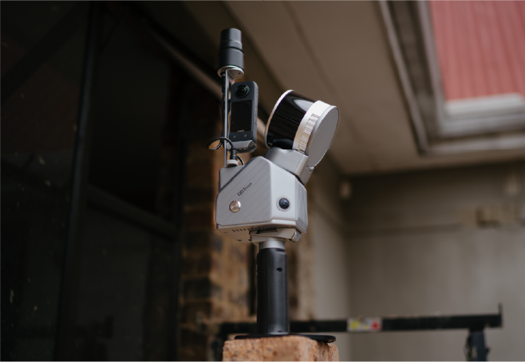
FJD Trion LiDAR Scanners (S2 / P2)
Handheld and mobile 3D capture for structures, terrain, and as-built models

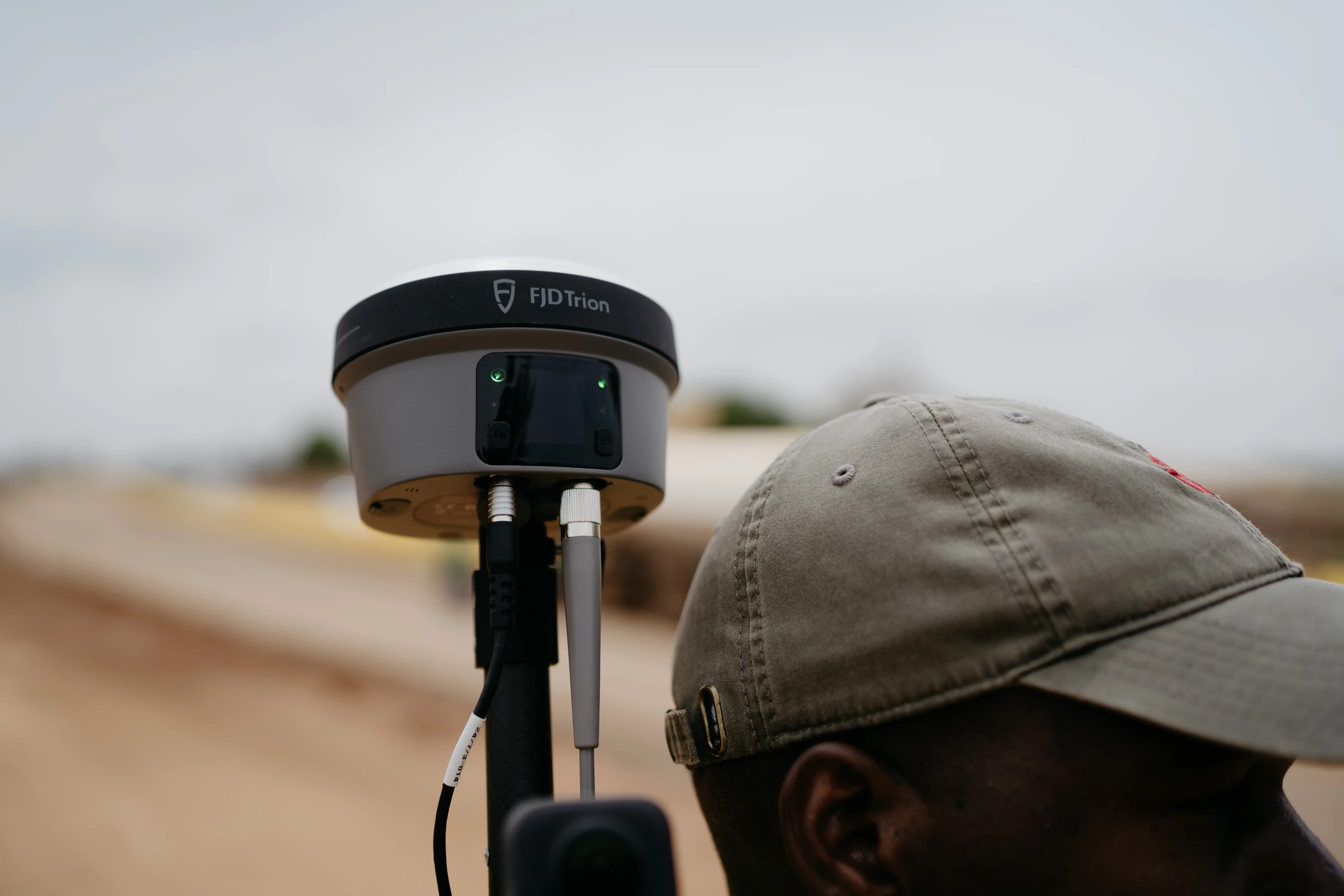
FJD GNSS Receivers (V1t / V10i)
RTK/IMU-enabled tools for fast, geo-accurate layout and measurement

Field-to-Office Integration
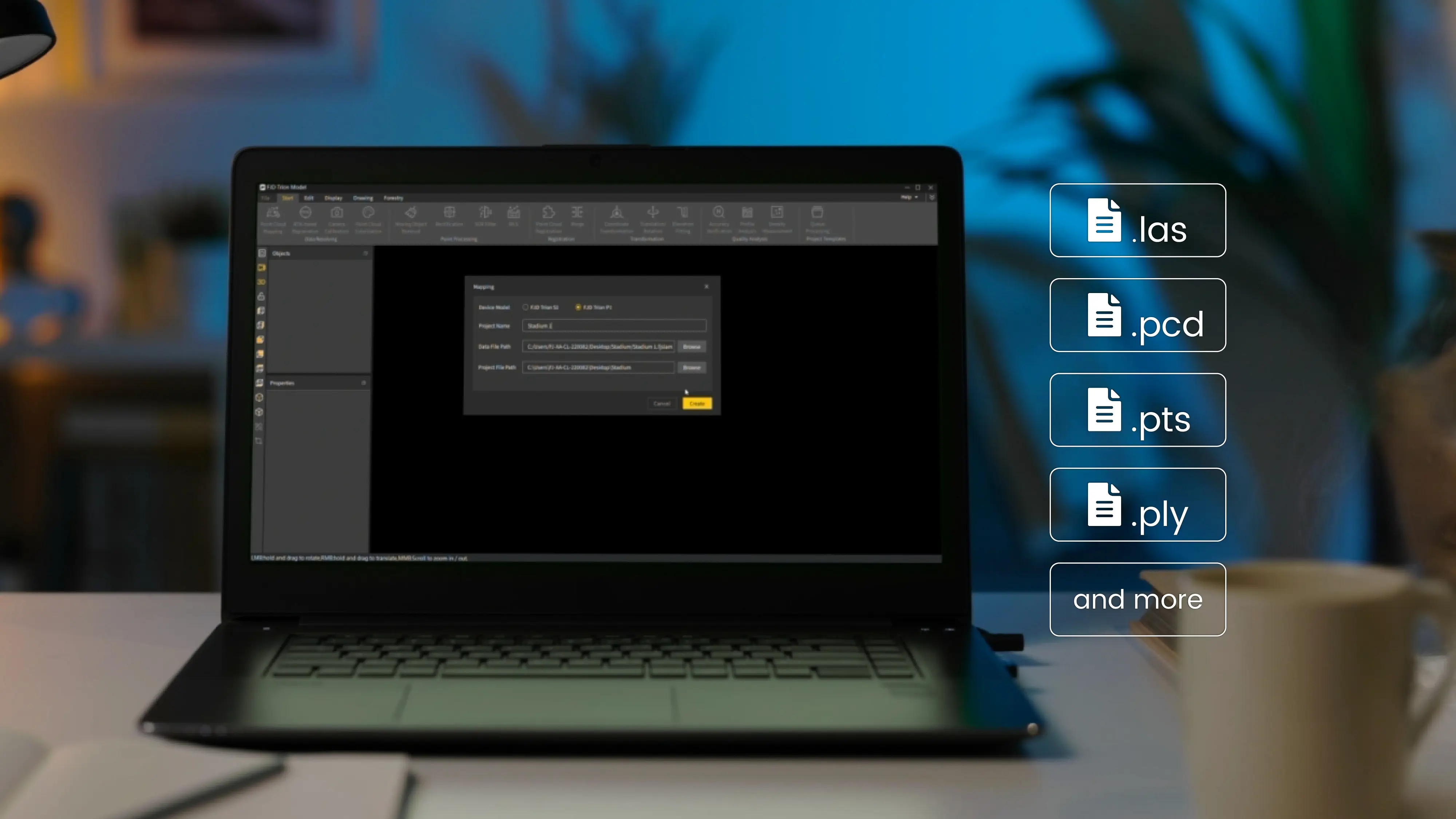
Outputs ready for Civil 3D, AutoCAD, Revit, Model Maker, and GIS platforms. Export to LAS, E57, DXF, CSV, and more
USING GNSS SOLUTIONS IN YOUR PROJECTS
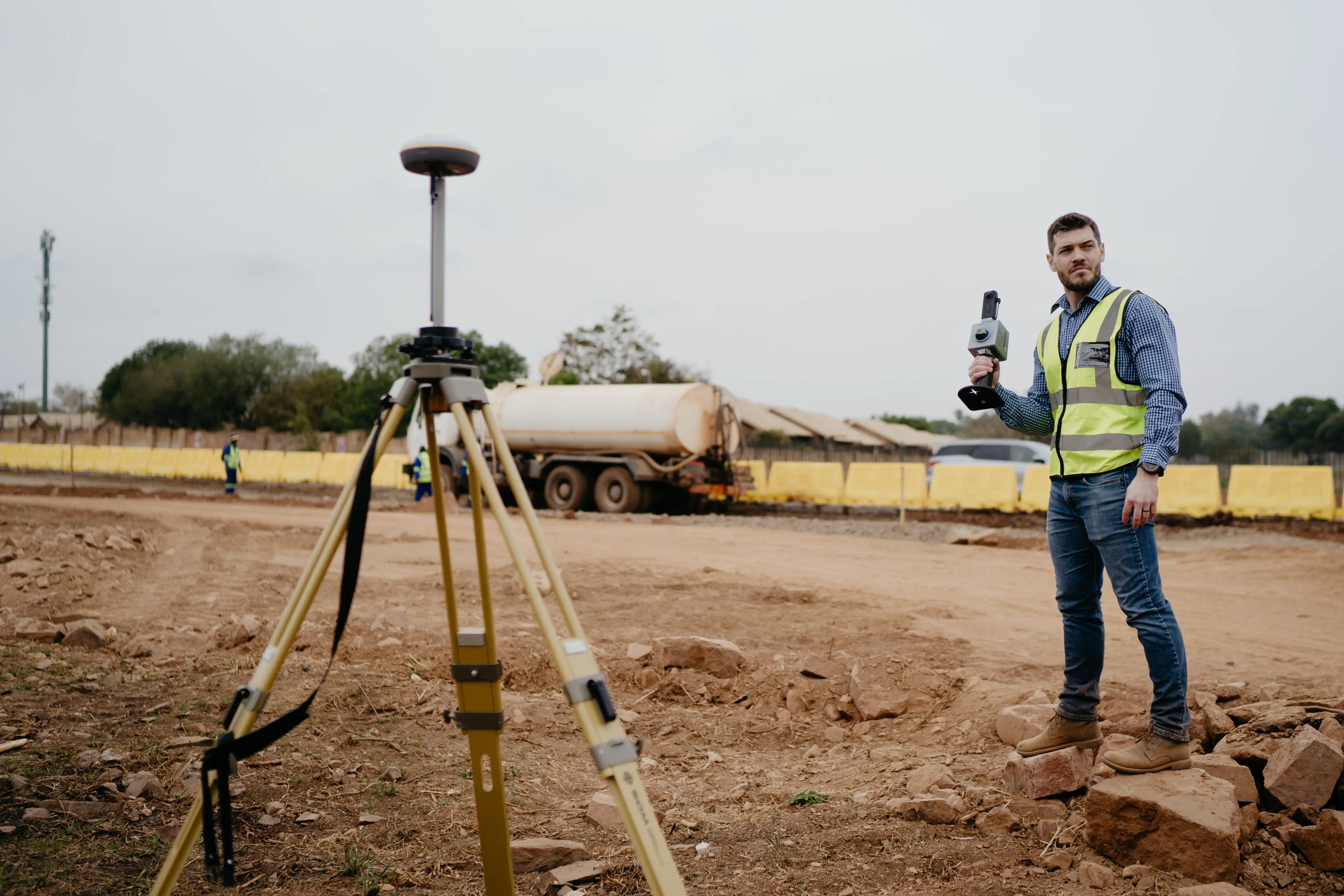
Trion V1t RTK Rover – For exact ground measurements
Trion V10i Rover – Tilt-enabled for tough terrain and tight spots
- Stake out design points with RTK precision
- Collect as-built data for foundations, utilities, and features
- Tilt the pole, record the true tip (even near walls or slopes)
- Export in CSV/DXF and import into CAD, GIS, or BIM platforms
In Trion Model / Revit / ArchiCAD / Model Maker:
- Align your models with real-world coordinates for proper site placement
- Use as reference for section cuts, foundation layouts, and site logistics

USING LIDAR SOLUTIONS IN YOUR PROJECTS
Trion S2 and Trion P2 LiDAR Scanner – For detailed 3D site capture
- Scan roads, tunnels, buildings, or terrain in minutes
- Mount on drones, vests, cars, extension pole or robotic dogs for extended access
- Process data in Trion Model or CloudCompare
- Export to LAS, E57, PLY - ready for design or analysis
In Revit / ArchiCAD / BricsCAD:
- Import point cloud into your project file
- Trace or convert into walls, slabs, roofs, etc. using native tools (or AI-powered tools in BricsCAD)
- Build accurate as-built or renovation models directly from scan data
WHAT YOU CAN ACHIEVE
Topographic and Site Analysis
Capture high-resolution terrain data to inform drainage, slope, and cut/fill decisions
Design & Layout Precision
Place footings, utilities, and structural elements with centimeter accuracy
Construction Progress Monitoring
Perform weekly or milestone scans to validate build accuracy and progress
Deformation Monitoring
Track structural movement over time using repeat surveys and point cloud analysis facades
BUILT FOR ENGINEERS WHO LEAD
- Reduce field time with faster capture and setup
- Eliminate rework with geo-verified data
- Validate designs with real-world ground truth
- Present deliverables that meet client and regulatory specs
Whether you’re mapping a rural site, planning a major upgrade, or validating infrastructure, you’ll get the accuracy and confidence you need with less manual effort.
HAVE ANY QUESTIONS?
How it works?
Enter in your details
Type in your name and email.
In the subject box type in Engineer QUOTE
Tell us which products should be added to your quote
Please indicate shipping address for an accurate quote. Feel free to ask any addition
Submit
When you are all done, click submit and you will receive your quote soon
Give us a call
Book a demonstration
Want to book a demonstration, you can do so by following the link below.
